
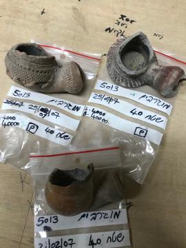
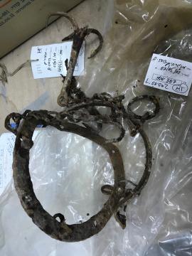
Photograph of an object on the excavation site
- RNYA/VLR/20230111/IMG0681
- Unità documentaria
- 2023-01-11
Parte diVincent Lemire's records
Photograph of an object on the excavation site
Parte diVincent Lemire's records
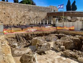
Photograph of the excavation site of the Mughrabi ramp
Parte diVincent Lemire's records
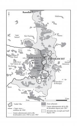
Map representing Jerusalem in 1967
Parte diDario Ingiusto's records
Map created between 2014 and 2018, and modified in 2021.
Parte diVincent Lemire's records
Parte diVincent Lemire's records
Parte diVincent Lemire's records

Parte diVincent Lemire's records

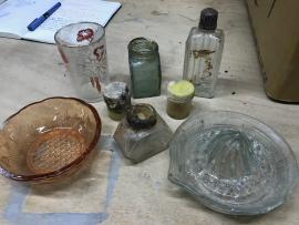
Photograph of a porcelain service
Parte diVincent Lemire's records
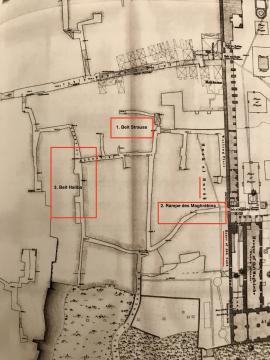
Map locating the 3 archeological sites excavated since 2005 on the mughrabi quarter area
Parte diVincent Lemire's records
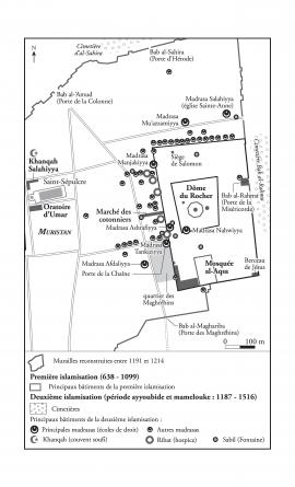
Map representing the Islamic foundations in Jerusalem at the Ayyubid and Mamluk periods, 1187-1516
Parte diDario Ingiusto's records