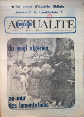
Algérie Actualité, n° 87, June 18, 1967
- AlgerieActu/87
- 1967-06-18
Newspaper issue: Algérie Actualité, n° 87, June 18, 1967.
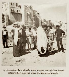
Issue mentioned in: Vincent Lemire, "Au pied du mur : Vie et mort du quartier maghrébin de Jérusalem (1187-1967)", Paris, Éditions du Seuil, coll. "L'univers historique", 2022, p. 254-255.